
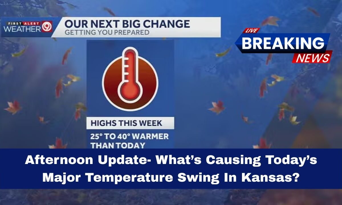
Kansas is riding a wild temperature swing this week—chilly mornings, brisk afternoons, and a quick warm-up just ahead. Here’s your afternoon update explaining what changed, why it happened, and what’s next.
What changed since the weekend?
A strong early-season cold front raced through the Plains, replacing Friday’s mild air with a much colder, drier air mass.

Across eastern Kansas (including the KC metro), highs dropped from the low 70s on Saturday to the low 50s Sunday, then plunged into the coldest air of the season by Monday morning.
In south-central Kansas (Wichita area), a similar flip occurred: middle-70s Friday, then the front swept in over the weekend to knock readings into the 50s/60s with chilly mornings.
By late Monday morning, observations were near the low-to-mid 30s before a gradual daytime recovery.
Why did the temps swing so hard?
- Cold advection behind the front: Northerly winds dragged in a continental polar air mass, slashing temperatures 20–30° in under 36 hours in some spots.
- Dry air + clear skies: Behind the front, drier air and overnight clearing promoted radiational cooling, enhancing the morning chill.
- Tight pressure gradient: Gusty northerlies right behind the boundary accelerated the temperature drop and boosted wind-chills early Monday.
Quick look: today’s swing at a few Kansas spots
| Location | Recent Mild Peak* | Monday PM Trend | Swing Snapshot |
|---|---|---|---|
| Kansas City metro | Low 70s (Sat) | Low 40s–50s (Mon) | ~20–30° drop then slow rebound |
| Wichita | Mid-70s (Fri) | 30s AM → 40s–50s PM | Big AM chill, gradual PM recovery |
| Topeka / NE Kansas | 60s–70s (late week) | 40s–50s (Mon) | Chilly, then mid-week warm-up |

*Recent mild peaks from late week/weekend forecasts and newscasts; Monday trends from morning observations and afternoon forecasts.
What’s next (rest of the week)?
The cold snap is short-lived. Temperatures are expected to rebound Tuesday through Thursday into the 50s and 60s, and even upper 60s to mid-70s by Friday/Saturday for parts of the area. The next precipitation chances arrive toward the weekend (30–50%+) as another system approaches.
- Front-driven flip: Rapid polar air arrival caused the major swing.
- Morning shock, afternoon ease: Harsh AM wind-chills eased with sunny PM recovery.
- Fast warm-up ahead: Expect a return to above-normal readings by late week.
Kansas’ major temperature swing is a textbook cold-front pattern: a swift drop driven by polar air, dry skies, and northerly winds, followed by a quick rebound as the upper pattern slides east. Keep layers handy for the next 24–36 hours, then plan on milder afternoons returning by late week.
