
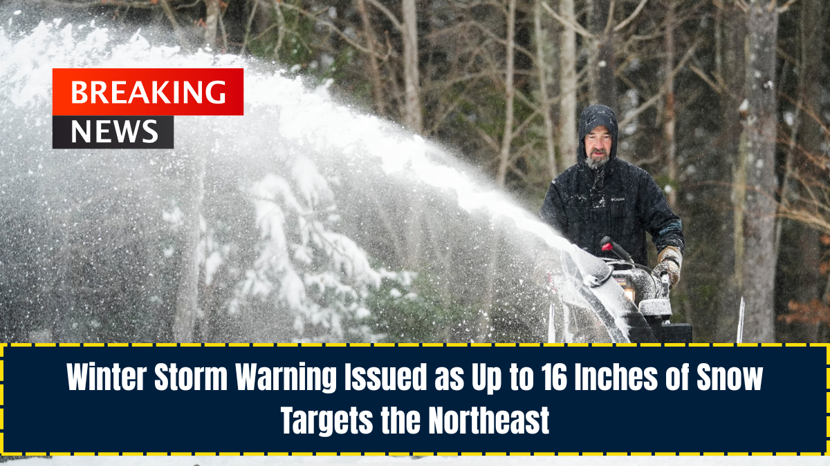
The National Weather Service (NWS) has announced multiple winter weather advisories and storm warnings across the Northeast, forecasting up to 16 inches of snow through Monday evening.
According to NWS meteorologist Eric Myskowski, the storm began early Sunday, with the most intense snowfall occurring overnight. Snow is expected to persist throughout Monday, and totals are considered unusually high for this point in the season.
Why This Storm Matters

Several Northeastern states have already seen their first snowfall, and this new storm arrives as other regions of the U.S.—including the West Coast, Intermountain West, and Midwest—prepare for significant winter precipitation.
Millions nationwide are expected to encounter snow, wintry mixes, or ice throughout the week.
Current Weather Alerts
As of Monday morning, winter weather advisories were active in:
- Pennsylvania
- New York
- Vermont
- Maine

More intense winter storm warnings were issued in parts of New York and Vermont.
Snow continues to fall across these regions, and forecasters warn that substantial additional accumulation is still expected.
Areas Expecting the Heaviest Snow
The highest totals are predicted in the NWS Burlington, Vermont, coverage area, including:
- Southeastern St. Lawrence
- Southern Franklin
- Western Clinton
- Washington
- Orleans
- Eastern Chittenden
- Eastern Franklin
- Lamoille Counties

The NWS reports:
“Moderate to heavy snow expected. Additional 3–8 inches for totals of 8–10 inches, with 10–16 inches possible on northwestern slopes.”
New York Impact
The NWS Albany office warns that some areas, especially near and north of Route 28 in northern Herkimer County, could receive up to 14 more inches.
Strong wind gusts may worsen travel conditions as blowing snow reduces visibility.
Other Expected Snowfall
- Pennsylvania and New York may see several inches of lake-effect snow.
- Regions under NWS Caribou, Maine, may also receive additional accumulations.
- Southern Vermont expects more light to moderate snow.
Statements From Weather Officials
NWS Buffalo, New York
“Periods of snow will result in snow-covered roads and limited visibilities. Slow down and use caution while driving.”
NWS Albany, New York
“Roads will likely become slick and hazardous… Visibility may drop below one mile due to moderate to heavy snow and blowing snow. Travel could be difficult.”
NWS Burlington, Vermont
“If you must travel, keep an extra flashlight, food, and water in your vehicle in case of emergency.”
What Comes Next
Most winter weather alerts are expected to expire by Monday night, though some locations may remain under advisories until Tuesday morning.
Residents are urged to follow NWS guidance and remain cautious when traveling during the storm.
Conclusion
The Northeast is facing its first major winter storm of the season, with some areas expecting up to 16 inches of snow and dangerous travel conditions.
With multiple states under winter storm warnings, residents should remain alert, limit travel when possible, and rely on official NWS updates to stay informed as the storm progresses.
FAQs
1. How much snow is expected in the heaviest-hit regions?
Some locations, particularly in Vermont, may see 10–16 inches of total snowfall.
2. When will the winter storm warnings expire?
Most alerts end Monday night, but some may extend into Tuesday morning depending on the area.
3. Will travel be affected?
Yes. Reduced visibility, slick roads, and blowing snow are expected to create hazardous travel conditions across the region.