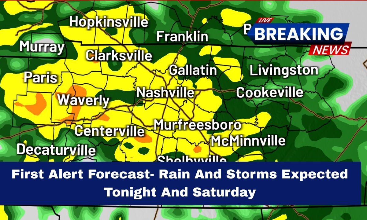
Kansas is preparing for a stormy stretch of weather, with First Alert Weather Days announced for tonight and Saturday.
A powerful moisture-packed system is moving into the Central Plains, bringing heavy rain, strong thunderstorms, and a rising risk of flash flooding across several Kansas counties.
A slow-moving cold front combined with warm, humid air from the south will make the atmosphere unstable, setting the stage for multiple rounds of storms, some of which could be strong.
Tonight- Strong Storms and Heavy Rain Likely
Kansas residents should brace for a stormy night, especially in eastern and central regions including Wichita, Topeka, Manhattan, Salina, and Kansas City metro areas.
Expected conditions tonight:
- Lows in the mid to upper 50s
- Widespread showers and thunderstorms
- Heavy downpours in several counties
- Localized flooding risk
- Wind gusts up to 35 mph in stronger storms
The primary concerns tonight include:
- Rapid rainfall leading to water-covered roads
- Low visibility while driving
- Thunderstorms with frequent lightning
Travelers are advised to use caution, allow extra time, and avoid low-water crossings that may flood quickly.
Saturday- Another Round of Rain and Storms Across Kansas
Saturday remains a First Alert Weather Day as the front stalls over Kansas, keeping the region under a band of repeated storms. The highest rain coverage is expected Saturday morning through early afternoon.
Saturday’s outlook across Kansas:
- Highs in the mid to upper 60s
- Scattered to widespread showers and thunderstorms
- Heavy rainfall potential continues
- Gusty winds 25–30 mph
Though severe weather is not guaranteed, the environment may support:
- Isolated strong storms
- Small hail
- Gusty winds
- Fast rainfall accumulation
Outdoor gatherings, sports events, and travel plans may be affected due to muddy fields, lightning delays, and occasional downpours.
Sunday- Lighter Showers, Cooler Air
Kansas will see a shift toward cooler and calmer weather on Sunday, but a few light showers may still linger, especially in northern and eastern parts of the state.
Sunday trends:
- Highs in the upper 50s
- 30% chance of scattered light rain
- Cloudy to mostly cloudy skies
This will be the first real break after two days of widespread wet weather.
Rainfall Totals and Local Flooding Concerns
Because storms will move slowly and repeatedly track over the same areas, rainfall totals may become significant:
- 1 to 3 inches common statewide
- Up to 4 inches possible in eastern Kansas
- Localized 5-inch totals in heavy bands
Urban areas like Wichita, Overland Park, Kansas City KS, and Lawrence have the highest potential for street flooding, especially during peak rain periods.
Kansas Forecast Summary
| Day | Rain Chance | Temperatures | Main Impacts |
|---|---|---|---|
| Tonight | 80% | Mid–Upper 50s | Heavy storms, downpours, flooding risk |
| Saturday | 70% | Mid–Upper 60s | Storms, gusty winds, possible hail |
| Sunday | 30% | Upper 50s | Light showers, cooler |
| Monday | 20% | Low 60s | Mostly dry, partly cloudy |
| Tuesday | 10% | Low–Mid 60s | Dry, calmer weather |
Kansas is set for a wet and stormy stretch, with tonight and Saturday bringing the highest risk for heavy rain, thunderstorms, and localized flooding.
With multiple rounds of storms likely, residents should stay weather-aware, avoid flooded roadways, and prepare for interruptions to outdoor plans.
After this system moves through, the state will see cooler and more stable weather early next week.


