Hot and humid weather will persist through Monday, bringing summer-like conditions across the region.
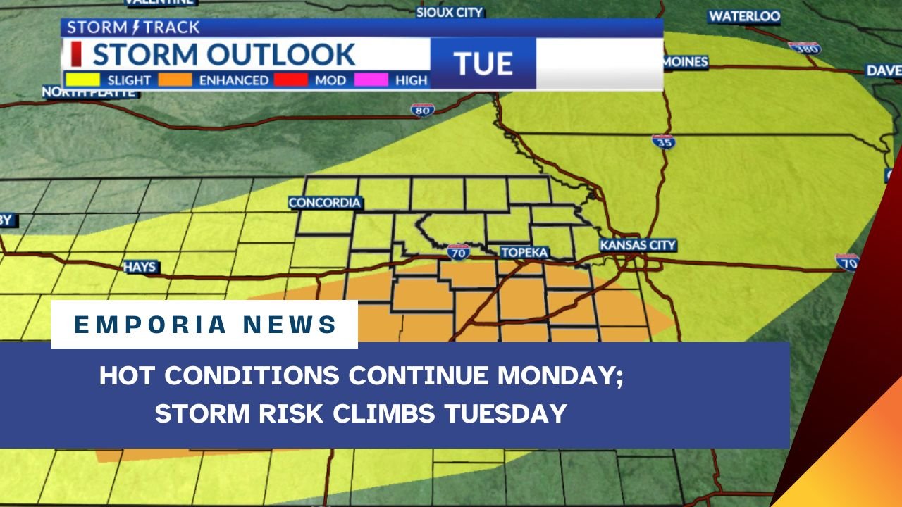
By Tuesday, the risk of thunderstorms increases, with some storms potentially becoming severe.
Monday: Morning Fog Followed by Sunshine
The week kicks off with patchy morning fog on Monday, but skies are expected to clear by the afternoon, giving way to mostly sunny conditions. Temperatures will climb to highs in the upper 80s to lower 90s, bringing a warm but pleasant start to the week.
Tuesday: Strongest Storm Potential
As we move into late Monday night and early Tuesday, rain chances return to the area. The most significant threat for storms, including the potential for severe weather, will arrive Tuesday evening into early Wednesday. Expect scattered thunderstorms, some of which may be strong or severe, particularly overnight on Tuesday.
Mid to Late Week: Heat & Humidity Build
Following the storm system, the region transitions into a typical summer pattern. Expect rising heat and humidity with daytime highs reaching the mid-90s from Wednesday through Friday. Conditions will remain humid, and southerly winds will pick up speed, ranging between 15-25 mph by the end of the week.
Key Highlights
- Morning fog Monday, clearing by afternoon
- Scattered thunderstorms Tuesday night, with severe weather possible
- Hot and humid conditions through late week, with temperatures in the mid-90s
- Strong south winds expected late in the week
This week’s weather brings a blend of fog, storms, and increasing heat. After a calm and sunny Monday, Tuesday evening stands out as the most active weather day, with a chance for severe thunderstorms.
The latter part of the week will feel more like classic summer weather, with hot temperatures, persistent humidity, and gusty southern winds. Stay weather-aware and keep cool as the heat intensifies.


