
In south-central Kansas, including the Wichita, Kansas area, the atmosphere is warming up for a major shift. After temperatures reached the middle to upper 70s °F yesterday, today will feel slightly cooler—but still above average for late October.
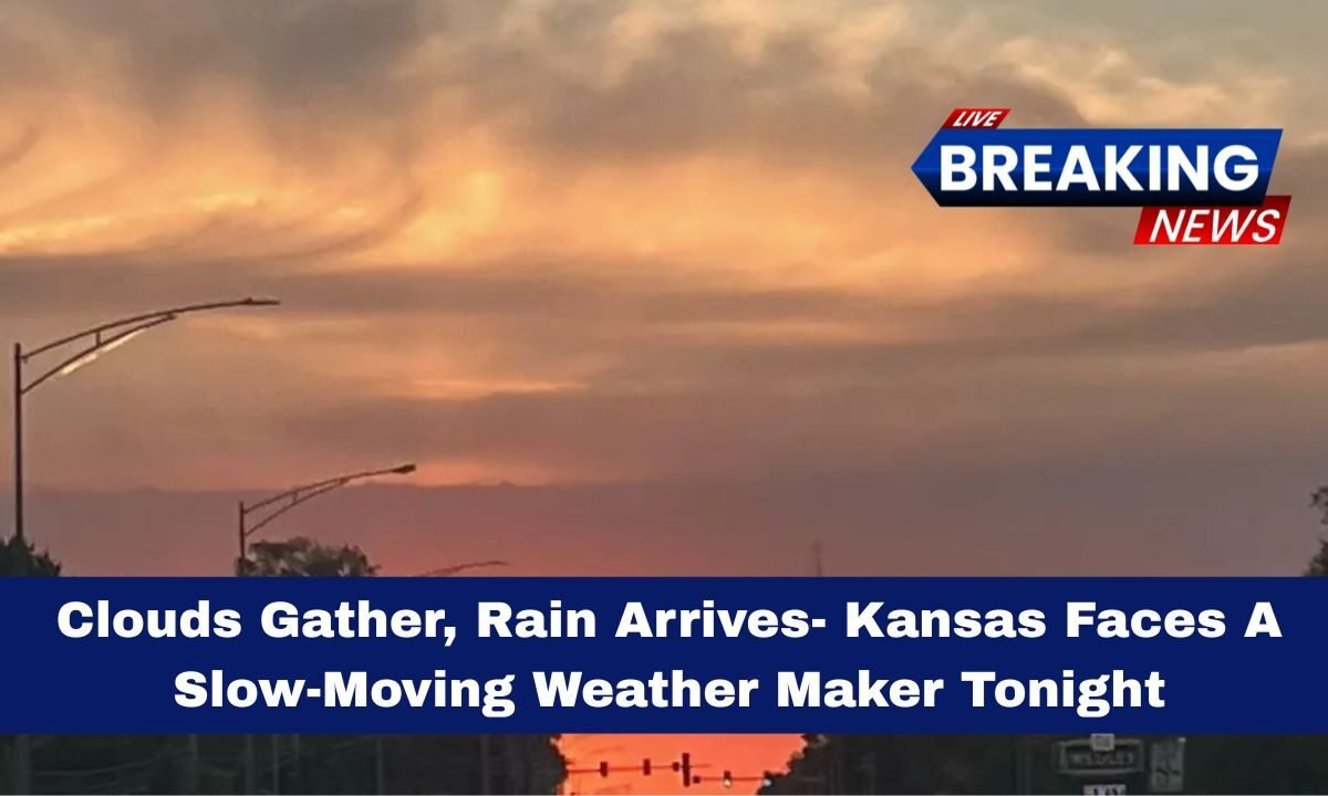
Residents are enjoying this brief lull before a slow-moving system begins to move in tonight, bringing widespread rain and possible storms. The key message: the calm before the storm.
What to Expect: Rain, Storms & Cooler Temps

This weather system will unfold in phases:
- Tonight: Cloudy skies with rain and thunder expected after 10 p.m. Winds from the east/southeast at about 10-15 mph. Low around 54 °F.
- Friday (tomorrow): Rain/thunder likely continues. Highs fall to the upper 50s (~59 °F).
- Saturday: Morning showers remain, then mostly cloudy and cool. High near 58 °F, low around 53 °F.
- Sunday: Partial clearing in the afternoon, but still mainly cloudy. High near 63 °F, low about 51 °F.
- Next week: Another weather system arrives Monday, bringing rain chances and gusty winds, followed by cooler highs in the 50s and possible frost/freeze overnight by Tuesday/Wednesday.
Rainfall & Impact Details
| Location | Expected Rain | Timing | Impact Notes |
|---|---|---|---|
| South-central Kansas | 1-2 inches (locally higher) | Tonight → Saturday morning | Soaking rain, some potential for localized flooding in low-lying areas. |
| General Kansas region | Showers developing tonight into Friday | Tonight → Friday | Cooler temps, damp conditions, outdoor plans impacted. |
| Weekend after rain exits | Mainly dry but dreary | Saturday afternoon → Sunday | Cloudy skies, scattered clearing, lower afternoon temps. |
Why This Matters
- The soil is still warm from recent mild weather, which can enhance rainfall runoff and increase flood risk in built-up zones.
- The timing—rain falling mainly overnight and into Saturday morning—means many people will wake to wet roads, low visibility, and possibly lingering puddles.
- The cooler weekend ahead, with highs only in the upper 50s to lower 60s, means people should avoid relying on the mild, sunny weather of the past few days.
- The arrival of another system early next week means this won’t just be a one-off event; the atmosphere is shifting toward a cooler, wetter pattern.
Tips to Stay Safe & Prepared
- Check the weather radar tonight and keep an umbrella or raincoat handy if you’ll be out late.
- Avoid driving through standing water; even a small amount can hide hazards.
- If you have early morning commitments Saturday, allow extra time—showers may linger.
- For outdoor plans on Sunday, keep expectations moderate: it will be cool and mostly cloudy, not bright and sunny.
- Next week: Keep an eye on forecasts confirming the freeze/frost risk, especially if you have plants or pets sensitive to cold overnight.
In short: enjoy the calm today, but don’t be surprised when the skies shift tonight.
With a slow-moving weather maker headed for Kansas, expect soaking rains (1-2 inches) across the south-central region overnight into Saturday, followed by a cool, cloudy weekend, and the possibility of another weather disturbance early next week.

The message is clear: prepare now, because the mild weather of yesterday might be gone for a while.