
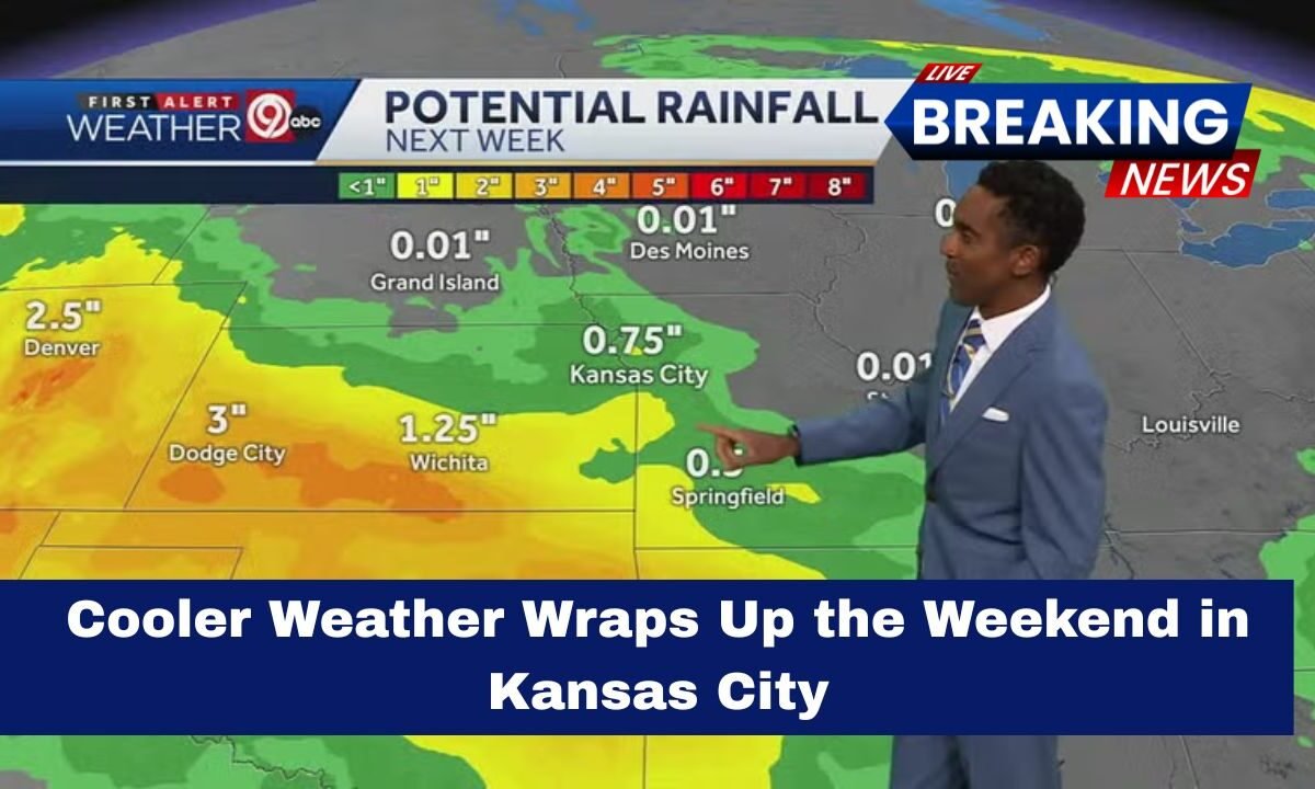
As the weekend came to a close, cooler weather swept across Kansas City, bringing a refreshing shift from the unusually warm conditions earlier in the week.
A passing cold front late Saturday moved through the metro area, causing temperatures to dip sharply and giving residents a true taste of November.

With breezy winds, crisp air, and falling temperatures, the region welcomed a much more seasonal pattern to wrap up the weekend.
A Noticeable Drop in Temperatures
Following several days of above-average warmth, the weekend ended with a dramatic cooldown. Afternoon highs, which had climbed into the low and mid-70s earlier in the week, fell into the upper 50s and lower 60s by Sunday.
Morning lows dropped into the low to mid-40s, bringing back the chilly, fall-like feel Kansas City typically experiences this time of year.

The cooler air mass behind the front also brought northwest winds, with gusts reaching 25 to 30 mph in parts of the metro.
These winds made conditions feel even cooler during the early morning hours, especially in open and elevated areas.
Weekend Weather Snapshot
Below is a quick breakdown of the temperature and wind changes observed over the weekend:
| Day | High (°F / °C) | Low (°F / °C) | Wind | Rain Chance |
|---|---|---|---|---|
| Saturday (Before Front) | 70–74°F / 21–23°C | Mid-50s / 12–14°C | W–NW gusts up to 25 mph | Low |
| Sunday (After Front) | 58–62°F / 14–17°C | 42–46°F / 5–7°C | NW gusts 25–30 mph | Slight AM chance |

The change was noticeable for anyone who spent time outdoors, particularly during the early morning hours when the combination of cooler air and breezy winds created a brisk start to the day.
Why the Sudden Change?
The temperature shift was driven by a dry, fast-moving cold front that pushed through the Central Plains late Saturday.
While the front didn’t bring significant rain to Kansas City, it carried a cooler Canadian air mass that settled into the region for the remainder of the weekend.
This type of front is typical for November, when the jet stream dips south and allows cooler air to flow across the Midwest.
The lack of moisture also meant skies cleared quickly, allowing temperatures to drop further during the nighttime hours.
Looking Ahead- What Kansas City Can Expect Next
As the new week begins, Kansas City is expected to remain under the influence of the cooler air mass.
Morning temperatures will continue to fall into the 40s, with some outlying areas potentially dipping into the upper 30s.
Afternoon highs should remain mild but seasonally appropriate, hovering in the upper 50s to mid-60s.
Winds are forecast to gradually ease, creating calmer conditions compared to the breezy weekend.
Skies are expected to remain mostly clear, and no major precipitation events are on the immediate horizon.
However, as fall transitions toward early winter, residents should stay alert for additional cold fronts that could bring colder snaps in the coming weeks.
Practical Tips for Residents
Here are some helpful reminders as Kansas City settles into its cooler pattern:
- Wear layers, especially during morning commutes when temperatures are at their lowest.
- Keep outdoor plants and sensitive items protected from cooler overnight lows.
- Check updated forecasts if you plan outdoor activities, as conditions can shift quickly with passing fronts.
- Be prepared for early heating needs as homes cool more rapidly during the night.
This weekend marked a return to true fall weather for Kansas City, with a sharp cooldown, brisk winds, and crisp mornings settling into the region.
While the change may feel sudden after several warm days, the shift aligns with typical November patterns.
As residents adjust to the cooler temperatures, the city can look forward to a stretch of calm, dry, and seasonally pleasant weather to start the new week.