
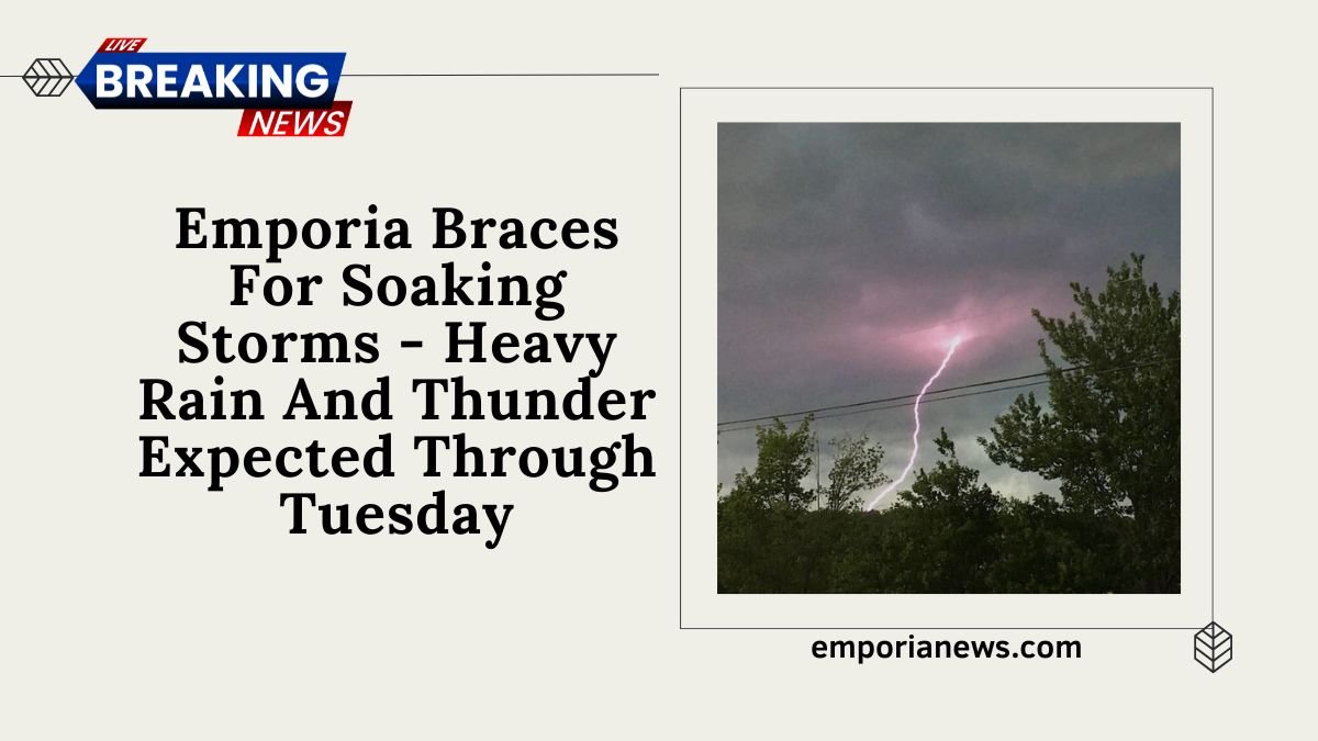
Emporia, Kansas is currently under a significant weather threat as multiple rounds of thunderstorms and heavy rainfall are forecasted to persist through Tuesday, May 27, 2025.
The National Weather Service (NWS) has issued warnings about potential flash flooding, urging residents to remain vigilant and prepared.
Weather Forecast Overview

The NWS predicts 1 to 1.5 inches of rainfall for the Emporia region, with the possibility of higher localized totals due to repeated storm activity. The primary concerns include lightning strikes and heavy downpours, rather than damaging winds or hail.
The heaviest rain is expected to continue through Monday, raising concerns about localized flooding across east-central Kansas.
Road Closures and Safety Advisories
The Lyon County Emergency Communications Center has reported several road closures due to water over the roadways:
- Road 30 just west of S Hwy 99
- Road 170 between Road M & Road P
- Burlingame and Riley Avenue for southbound traffic

Residents are strongly advised to avoid these areas and remember: never drive into standing water. Just 6 inches of fast-moving water can knock down an adult, while 12 inches can carry away a small car. Larger vehicles face danger in 18-24 inches of rushing water.
Weather Impact Summary
| Date | Forecast Details | Rainfall Estimate | Flood Risk Level |
|---|---|---|---|
| May 26 | Cloudy and cool with showers and a thunderstorm; breezy in the afternoon | 1 to 1.5 inches | Moderate |
| May 27 | Mostly cloudy with a passing shower or two | Up to 0.5 inches | Low |
| May 28 | Times of clouds and sun | Minimal | None |
Safety Recommendations
- Stay Informed: Monitor local weather updates and alerts.
- Avoid Flooded Areas: Do not attempt to cross flooded roads or walkways.
- Prepare Emergency Kits: Have essentials ready in case of power outages or evacuation.
- Check on Neighbors: Assist those who may need help, especially the elderly or disabled.
Emporia residents should brace for continued heavy rainfall and thunderstorm activity through Tuesday. With the potential for flash flooding and hazardous road conditions, it’s imperative to stay informed, exercise caution, and prioritize safety.
By adhering to official advisories and being prepared, the community can navigate this weather event with resilience.
