
A bold shift in weather is underway. A fall front has slipped through the region, momentarily breaking our streak of “Hot-tober” heat and restoring more familiar autumn-like conditions.
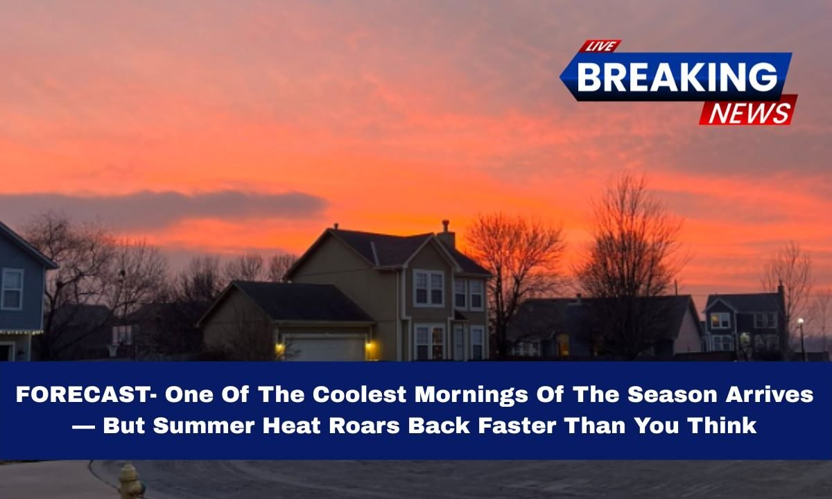
On Wednesday, we’re expecting one of the coolest mornings of the season, only to see summer heat surge back by the weekend.

In this forecast, you’ll find detailed temperatures, timeline, rain outlooks, and tips to prepare for the fast swing in conditions.
What’s Driving the Change
The passage of a cooling front has effectively reset the weather pattern. It interrupts the recent stretch of unusually warm days, bringing in cooler air tonight and through midweek.
That said, warm air will rebuild as the front weakens and retreats, allowing temperatures to climb rapidly heading into the weekend.
Forecast Highlights

Below is a summary of expected weather conditions over the next several days:
| Period / Day | Morning / Lows | Afternoon / Highs / Sky | Rain / Notes |
|---|---|---|---|
| Tonight (Wed eve) | mid-40s (°F) | — | Clear, calm, patchy fog possible |
| Wednesday | mid-40s at sunrise | Low 70s, sunny, light east winds | Beautiful, nearly perfect afternoon |
| Thursday | low 50s to upper 50s | mid-70s, partly cloudy | Pleasant, mild day |
| Friday | cool start, possibly damp | upper 70s to ~80 | Rain likely in morning, then drying |
| Saturday | 60s | low 80s | Warm and dry |
| Sunday | mid 60s | mid-upper 80s | Summer heat returns |
| Monday | 60s | ~80 | Rain chances return |
Day-by-Day Detailed Outlook
1. Wednesday
This will be a standout day. Sunrise temperatures in the mid-40s will make it one of the coolest mornings recorded so far this season. But by afternoon, conditions shift to near-perfect: clear skies, highs in the low 70s, and light east winds providing just enough breeze to keep things comfortable.
2. Thursday
Still very pleasant. Expect morning lows in the low to mid-50s, with afternoon highs reaching the mid-70s under partly cloudy skies. No major disturbances are forecast, making it an ideal “in-between” day.
3. Friday

A First Warn alert is issued for morning rain, as scattered showers develop. The day begins cooler and moist, but should dry out by afternoon. Highs may climb into the upper 70s or near 80 as sunlight returns.
4. Weekend Surge
- Saturday: Warm and dry, with highs in the low 80s.
- Sunday: A potent rebound of summer heat, pushing highs into the mid to upper 80s, accompanied by breezy southern winds (gusts possibly 30-35 mph).
5. Monday
Another First Warn day, with scattered rain chances returning. Highs hover around 80, but instability may trigger showers during the day.
Why the Temperature Swings Are So Dramatic
- The initial cold air advection behind the front gives us that unmistakable “fall bite” in the air, especially overnight and in the morning.
- But as sunlight strengthens and high pressure rebuilds, warm air is drawn back in, especially from the south, fueling a rapid rebound in heat.
- The nature of seasonal transition means the atmosphere is more variable now — so sudden swings between cool and warm are common.
What You Should Do
- Dress in layers Wednesday morning (jacket or sweater), but plan to shed layers come afternoon.
- Have rain gear ready for Friday and Monday — an umbrella or light rain jacket will go a long way.
- Hydrate and protect yourself over the weekend when heat pushes back in — sunblock, water breaks, and light clothing will help.
- Closely monitor weather updates Friday and Monday, as rain timing could shift.
Get ready for a dramatic one-two punch of weather: one of the coolest mornings of the season will kick off Wednesday, offering crisp, nearly perfect autumn air.
But don’t get too comfortable — summer heat is staging a fast comeback, with high temps returning to the mid-upper 80s by Sunday. Rain is in the mix both Friday morning and again Monday, making this a week of transition and contrast.
Stay prepared, dress smart, and ride the wave.