
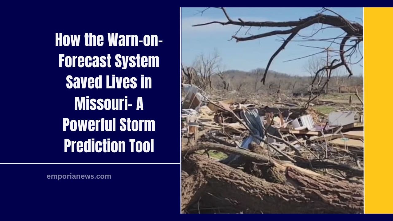
On March 14, 2025, Missouri faced a terrifying night as multiple tornadoes touched down across the state. With intense storms causing widespread damage, including an EF-3 tornado, the situation could have been far worse.
However, thanks to Warn-on-Forecast, an advanced weather prediction system, lives were saved. This system, developed by the National Severe Storms Laboratory (NSSL), provides critical early warnings that allow people to take safety measures before storms hit.
What is the Warn-on-Forecast System?

Warn-on-Forecast is an experimental weather forecasting system designed to predict severe weather, like tornadoes, with greater accuracy and lead time.
Unlike traditional weather models, which issue watches and warnings based on limited data, Warn-on-Forecast uses a complex ensemble of models to calculate the likelihood of hazardous weather up to three to six hours in advance.
This system integrates real-time data from radar, satellites, and other sources every 15 minutes, re-running the model every half hour to provide updated forecasts.

It helps forecasters by giving them more detailed and timely information to act upon, especially in areas at high risk of dangerous storms.
How Warn-on-Forecast Saved Lives in Missouri
On the night of March 14, as the storm system approached Carter County, Warn-on-Forecast indicated high probabilities for significant tornadoes.
For the first time, the system was able to predict the risk of a deadly tornado several hours before it struck, giving the community a crucial two-hour heads-up.

Local emergency managers, armed with this predictive data, passed along the warning to those in danger, allowing them to seek shelter before the storm hit.
Thanks to the early warnings provided by Warn-on-Forecast, 120 people were able to shelter in place, saving them from the devastating impact of the EF-3 tornado that followed shortly after.
Key Benefits of Warn-on-Forecast
The success of Warn-on-Forecast in Missouri highlights several benefits of the system:
- Enhanced Accuracy: Warn-on-Forecast provides more accurate predictions of severe weather events, allowing emergency managers to issue warnings with greater confidence.
- Earlier Warnings: By forecasting severe weather hours in advance, the system gives people ample time to prepare for storms, reducing the number of injuries and fatalities.
- Real-Time Updates: The system continuously updates its forecasts every 30 minutes, ensuring the information is always current and reflective of changing weather conditions.
- Community Protection: For high-risk areas, such as hospitals, schools, and mobile home parks, the system provides crucial time to implement safety measures and evacuations, ensuring that vulnerable populations are protected.
The March 14th Tornado: A Case Study in Early Warning Success
On the fateful night of March 14, Carter County, Missouri, was one of the communities at risk. The Warn-on-Forecast system provided forecasters with a high-probability prediction of an EF-3 tornado, giving local authorities enough time to alert the public.
As a result, 120 individuals were able to take shelter in a community storm shelter, protecting them from the tornado’s fury.
This timely warning demonstrates how Warn-on-Forecast can be an invaluable tool in life-saving situations, particularly in areas where people may have limited time to respond to fast-moving storms.
What’s Next for Warn-on-Forecast?
While the Warn-on-Forecast system has already shown its potential to save lives, it’s still in the testing and demonstration phase.
The NSSL team, led by Dr. Pam Heinselman, is working to refine the system further. With real-world success stories like the March 14 tornado, there’s high optimism that the system will eventually be fully operational, potentially saving thousands of lives across the United States.
Key Data from Warn-on-Forecast System
| Feature | Details |
|---|---|
| Lead Time | 3-6 hours ahead of severe weather events |
| Data Sources | Weather radar, satellite data, real-time observations |
| Model Update Frequency | Every 15 minutes, re-run every 30 minutes |
| Community Impact | 120 people in Carter County took shelter due to early warning |
| Storm Severity Prediction | Probability of significant tornadoes, damaging winds, large hail |
The Warn-on-Forecast system represents a major leap forward in weather forecasting and disaster preparedness.
By offering detailed, real-time predictions of severe weather, the system helps save lives by giving people the chance to prepare for the worst.
With continued development and refinement, Warn-on-Forecast promises to become an essential tool in managing weather-related emergencies and protecting communities from the devastating effects of tornadoes and other severe storms.
By using cutting-edge technology, the Warn-on-Forecast system is proving to be a game-changer in the way we approach storm forecasting and response, offering a life-saving tool for meteorologists and emergency management teams across the nation.