
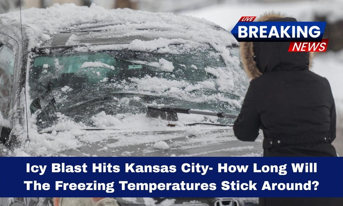
A surprising wave of freezing temperatures has settled over the Kansas City area, bringing unusually cold conditions early in the season.
While such cold snaps are part of the region’s weather pattern, this one stands out for its sharp drop and rapid turnaround.

In this article, we’ll break down the full story—what’s happening, how long the cold will last, what to expect next—written in clear language and easy to follow.
What’s Happening Right Now
The region is experiencing a strong influx of colder air, leading to below‑normal highs and lows. Overnight temperatures have dipped into the 20s °F (roughly –6 °C) in some outlying areas, while more urban parts are seeing lows in the 20s °F as well.
Wind chills have made it feel even colder, reaching the upper single‑digits to low teens in °F (around –12 °C to –10 °C).

All of this has come about because a large upper‑level trough shifted in, allowing Arctic‑air to push southward into the region.
How Long Will the Cold Last?
Here’s a breakdown of what to expect in the coming days:
| Date | Expected High | Expected Low | Notes |
|---|---|---|---|
| Tonight (Mon) | Upper 30s °F (~3–4 °C) | Low to mid‑20s °F (~–4 to –6 °C) | Coldest night of this event |
| Tuesday | ~60 °F (~15 °C) | ~37 °F (~3 °C) | Big jump in warmth begins |
| Wednesday‑Thursday | ~65–67 °F (~18–19 °C) | Around ~45‑52 °F (~7–11 °C) | Continued warming trend continues |
| Friday‑Saturday | Up to ~75‑78 °F (~24‑25 °C) | Low ~49 °F (~9 °C) | Near spring‑like temperatures return |
From this forecast, you can tell the worst of the freeze will be brief—mainly tonight into early Tuesday morning—before much warmer air moves in.
Key Facts & Figures
- Overnight lows during the coldest part: low to mid 20s °F (~–6 °C) in some areas.
- Wind chills have reached the upper single digits to low teens °F (~–12 °C to –10 °C).
- Highs by Tuesday expected to climb to about 60 °F (~15 °C) — a jump of nearly 30+ °F from overnight lows.
- By the weekend, highs may reach the mid‑70s °F (~24‑25 °C): a dramatic rebound in temperature.
Impacts and What to Watch For
What You Should Do
- Tonight and early Tuesday morning: expect lingering cold and potentially icy conditions on roads, sidewalks, and exposed surfaces.
- After Tuesday afternoon: conditions improve significantly. The warming trend means less freezing hazard and more comfortable outdoor time.
- If you have plants, sensitive pipes, or outdoor equipment, you may want to take protection measures tonight – though the cold will not last long.
- Be aware of wind‑chill: Even if air temps are in the 20s, wind can make it feel much colder and impact comfort and safety.
Good News

Because the freeze is short‑lived, the risks of long‑term damage (like extended pipe bursts or extended power issues) are much lower. The rapid warm‑up is a big relief.
What Could Still Be a Problem
- Early‑morning travel: roads may remain slick until warming begins, so extra caution is wise.
- Some vegetation may suffer if already vulnerable, since even a single very cold night can hurt transitional season plants.
- Sudden warming may lead to melting frost or ice, creating runoff or slippery conditions in places that had overnight ice.
Why the Rapid Warm‑Up?
The main reason the cold won’t stick around is that the Arctic air mass is expected to move out fairly quickly.
A shift in wind pattern—southerly flow replacing the cold northerly winds—will pull warmer air into the region.
Also, the upper‑level trough responsible for the cold is moving east, meaning the local area will no longer be under the very cold pocket of air.
In plain language: the “cold front” has dropped in, done its job, and warmer air is queued up to take over.
The recent icy blast in Kansas City has brought strong cold—freezing temps, wind chills near –10 °C, and a night of real chill.
But the good news is the worst of it is short‑lived. By Tuesday afternoon, temperatures begin to climb, and by the weekend you could be back to near‑spring warmth.
So while you should take precautions tonight—bundling up, protecting pipes, being careful on the roads—rest assured that prolonged deep freeze does not appear to be in the immediate forecast.