
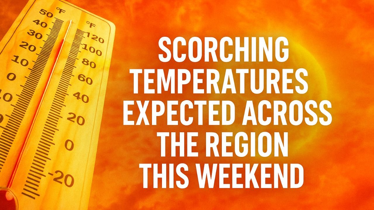
WICHITA, Kan. — Summer is kicking off with a blistering start as triple-digit heat indexes and soaring temperatures make this weekend the hottest of the year so far, prompting local weather teams and federal agencies to issue urgent heat-related warnings.
Heat Builds Heading Into the Weekend
The weather remains mostly clear and warm on Friday evening, with overnight lows dipping into the mid- to upper-70s.

But the real heat arrives Saturday and Sunday, as both days are expected to be sunny and hot, with highs in the low to mid-90s.
More concerning, however, is the heat index—which measures how hot it feels when factoring in humidity.
Forecasters estimate that it will range from 100 to 105 degrees, creating potentially hazardous conditions, especially for those outdoors.
Heat Advisory and Impact Days Issued

In response to the intense heat, the National Weather Service (NWS) has issued a heat advisory starting 1 p.m. Friday through 9 p.m. Sunday. Simultaneously, the First Alert Weather Team has declared Friday, Saturday, and Sunday as Impact Days, encouraging the public to take extra precautions.
What this means: If you’re planning to be outside during the hottest parts of the day, make sure to stay hydrated, seek shade, wear lightweight, light-colored clothing, and limit strenuous activities.
Gusty Winds Add to the Challenge
In addition to the heat, Sunday will bring strong wind gusts ranging between 30–35 mph, which could further intensify dehydration and dry conditions, especially for outdoor workers and athletes.

Be mindful if you’re driving high-profile vehicles or attending outdoor events.
No Immediate Relief in Sight
The hot weather trend continues into next week, with Monday and Tuesday staying near 90°F, and sunny skies expected.
While Wednesday and Thursday may see a slight drop, temperatures will still hover close to the upper 80s to near 90°F, with lows around 70°F.
Storm Chances Return Later Next Week
Relief could be on the way by late next week, as storm chances increase Thursday into the weekend. The forecast calls for highs in the upper 80s, with overnight lows near 70°F.
This transition may bring needed moisture and cooler air, but also carries potential for severe weather depending on storm development.
Heat Safety Tips
With extreme heat in the forecast, the Centers for Disease Control and Prevention (CDC) and local emergency services recommend:
- Stay indoors during peak heat (1 p.m. to 6 p.m.)
- Drink plenty of fluids, even if you’re not thirsty
- Check on elderly neighbors or those without air conditioning
- Never leave children or pets inside vehicles, even for a few minutes
- Know the signs of heat stroke, including dizziness, confusion, and rapid pulse
Kansas braces for its hottest weekend yet, with triple-digit heat indexes and safety warnings in place. Residents are urged to stay cool, hydrated, and alert.