
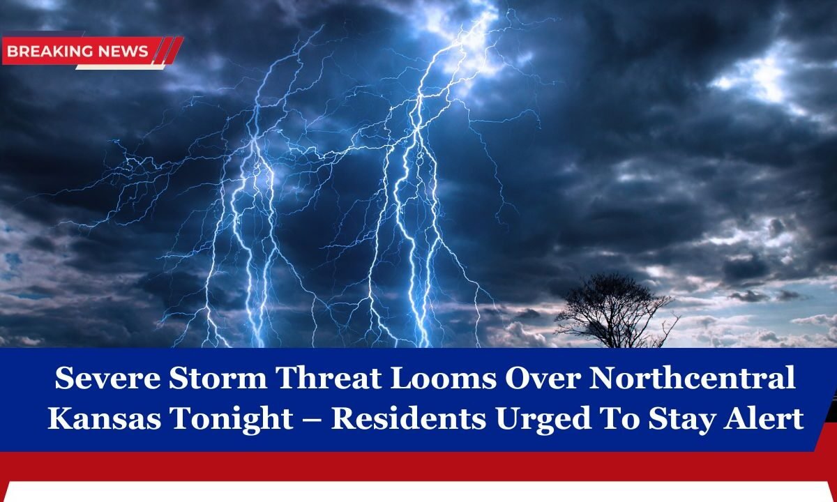
Residents of northcentral Kansas are being urged to stay vigilant as a marginal risk of severe thunderstorms threatens the region tonight.
Weather models show conditions are favorable for strong winds, large hail, and heavy rain during the late afternoon and evening hours.

While the overall risk level is low, even isolated severe storms can cause significant local damage and disruptions. Here’s everything you need to know to stay safe.
Current Weather Setup
A warm and moist air mass is currently in place over central Kansas, combining with an approaching disturbance from the west. This mix of unstable air and increasing wind shear will help fuel the development of thunderstorms later today.
As daytime heating peaks, these storms could rapidly intensify, especially between 4 PM and 10 PM.
September 2025 Forecast Details
| Time Period | Expected Conditions |
|---|---|
| Afternoon (2–5 PM) | Scattered showers forming in western Kansas |
| Evening (5–10 PM) | Strong to severe storms possible, especially northcentral KS |
| Overnight (10 PM–2 AM) | Storms weakening, scattered rain possible |
| Main Hazards | Wind gusts up to 60–65 mph, quarter-sized hail |
| Other Concerns | Localized flash flooding, brief power outages |
Potential Threats

The main threats from tonight’s storms include:
- Damaging winds: Gusts could reach 60 to 65 mph, strong enough to topple small trees, damage roofs, and down power lines.
- Large hail: Some storms may produce hail up to the size of quarters (about 1 inch), which can dent vehicles, damage crops, and break windows.
- Heavy rainfall: Brief torrential downpours may result in localized flooding in low-lying and poorly drained areas.
- Lightning: Frequent cloud-to-ground lightning could pose risks to anyone outdoors.
While tornado development is not expected to be widespread, an isolated brief tornado cannot be ruled out given the unstable atmosphere.
Why Residents Should Stay Alert
Even though this is classified as a marginal (Level 1 of 5) severe weather risk, it only takes one strong storm to cause serious problems. Storms may develop quickly and intensify in a short time, catching people off guard, especially those outdoors, driving, or at evening events.

Being weather-aware and prepared can significantly reduce risk. Knowing the timing, expected severity, and safety measures ensures you and your family stay protected.
Safety Tips for Tonight
Here are key actions you can take right now:
- Monitor local weather alerts on your phone or NOAA weather radio.
- Charge electronic devices in case of power outages.
- Secure outdoor items like lawn furniture, grills, and garbage bins that could blow away.
- If a warning is issued, move to a safe interior room away from windows.
- Avoid driving during peak storm times if possible; strong winds and hail can make roads dangerous.
- Have an emergency kit ready with flashlights, batteries, and water.
These simple steps can make a big difference when severe weather strikes unexpectedly.
What to Expect After Tonight
The storm system is expected to weaken as it moves east overnight, reducing the threat level by the early morning hours. However, daily chances for showers and thunderstorms will continue through midweek as the overall pattern remains active.
Temperatures are also forecast to cool slightly after the front moves through, providing temporary relief from the recent heat.
Quick Summary
| Category | Details |
|---|---|
| Risk Level | Marginal (Level 1 of 5) |
| Main Hazards | Damaging winds (60–65 mph), quarter-size hail, heavy rain |
| Timing | Peak between 5 PM and 10 PM, fading after midnight |
| Storm Movement | From west toward east-northeast into northcentral Kansas |
| Safety Actions | Stay alert, secure outdoor items, prepare for power outages |
A severe storm threat looms over northcentral Kansas tonight, and while the overall risk level is low, even isolated severe storms can cause real damage. Expect strong winds, large hail, and heavy rain, especially during the evening hours.
Residents are strongly advised to monitor weather alerts, secure property, and have a safety plan in place. By staying proactive, you can protect your family and property as this line of storms sweeps across the region