
As we approach Friday, March 14, 2025, a potent storm system is set to impact the region, bringing with it significant concerns regarding fire danger and the potential for severe weather.
Current Weather Conditions
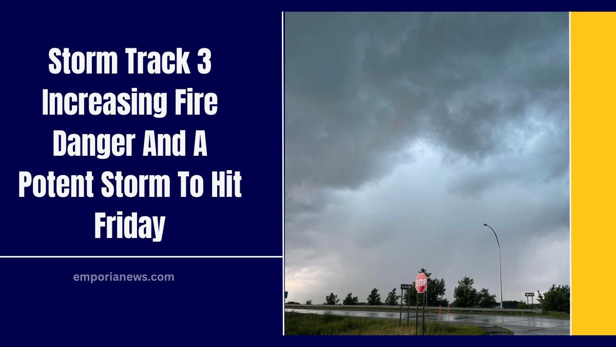
- Wednesday Night: A system tracking southward will lead to passing clouds into early Wednesday night. The thickest clouds will be southeast, closer to the disturbance.
- Thursday: Anticipate warmer temperatures with winds returning from the south, amplifying in the west. The air will be dry, contributing to increased fire risks.
Fire Weather Alerts
Fire weather alerts are in effect for Thursday, spanning counties in Nebraska through Western and Central Kansas into Oklahoma.

These alerts highlight the heightened fire danger due to dry conditions and strong winds.
Upcoming Storm System
- Friday: A strong system is expected to bring minimal rain but significant wind. Barometric pressure may drop to levels comparable to a Category 1 hurricane.
- Winds: Gusts between 40-60 MPH are anticipated ahead and behind the cold front, with lighter winds near the system’s center.
- High Wind Watch: Issued for portions of Western Kansas and counties in Oklahoma for Friday, likely to expand into eastern Kansas.
- Fire Danger: Extremely high across Kansas into Nebraska and down into Oklahoma. Any fires that start may be challenging to contain.
Severe Weather Outlook
- Timing: Showers are expected to begin over Central Kansas around midday Friday, with severe potential extending eastward outside our viewing area.
- Post-Front Conditions: Areas behind the low-pressure system may experience light rain showers. If temperatures cool sufficiently with residual moisture, some snow is possible to the northwest.
Extended Forecast
- Saturday: Cooler temperatures with leftover clouds.
- Sunday: Milder temperatures under a sunny sky.
- Early Next Week: Widespread highs in the 70s, with some areas reaching into the 80s.
- Midweek: Another storm system arrives by late Tuesday into Wednesday, bringing high winds and an increased wildfire risk. Rain showers are possible, with snow mixing in on the backside before departure.
Safety Recommendations
- Fire Safety: Given the elevated fire risks, refrain from activities that could ignite fires, such as outdoor burning or discarding cigarette butts improperly.
- Wind Safety: Secure outdoor objects that could be blown away by strong winds.
- Stay Informed: Regularly check updates from local weather authorities and adhere to any evacuation orders or advisories.
The upcoming days present a combination of fire hazards and severe weather risks. It’s crucial to stay informed and take necessary precautions to ensure safety as conditions evolve.