
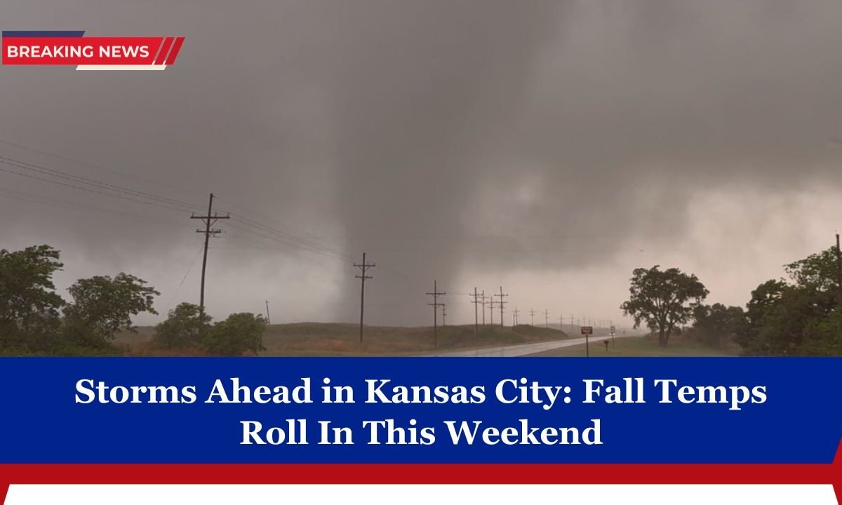
Kansas City residents are in for a dynamic weather swing heading into the weekend. Friday will start off sunny and warm, but by evening a fall cold front will inch through the metro area, bringing a broken line of storms.
Some of those may be strong with gusty winds and hail. As precipitation winds down overnight, cooler, more autumnal temperatures will settle in for Saturday and beyond.

Below is a full breakdown of what to expect, detailed forecasts, and what to prepare for.
Forecast Overview & Details
Here’s a snapshot of the key weather forecasts:
| Day / Period | High / Low | Precipitation / Storms | Wind / Hazards | Notes / Temperature Trend |
|---|---|---|---|---|
| Friday daytime | ~ 83–84 °F | Mostly dry, increasing clouds | Light to moderate | Warm and summery conditions early |
| Friday evening – overnight | ~ 61–65 °F overnight | Scattered thunderstorms, ~ 60% chance | Gusty winds, small hail possible | Some storms may be strong |
| Saturday daytime | ~ 73–75 °F | Lingering showers or storms early, then clearing | WNW wind ~5-10 mph | Cooler, fall-like feel begins |
| Saturday night | ~ 50-55 °F | Mostly clear or a few passing showers | Northwest winds | A crisp, cool night expected |
| Sunday | ~ 65-70 °F | Mostly sunny, minimal rain chance | Moderate westerlies | Pleasant fall day with comfortable temperatures |
Detailed Timeline & Insights
Friday (Day to Evening)
The day begins under sunshine and warmth, with highs approaching the low to mid-80s. As the afternoon wanes, clouds thickening and moisture increasing will set the stage for storms.

The cold front pushing in from the northwest is expected to trigger a broken line of thunderstorms, likely after 5 p.m., with a 60% chance of precipitation during the evening and overnight hours.
While severe weather is not expected, gusty winds and small hail remain possible in stronger storm cells. The line may continue through the night, peaking between 7 p.m. and 4 a.m.
Saturday (Day & Night)
After the front passes, lingering showers or thunderstorms are expected early, particularly during the morning hours.

As skies gradually clear, sunshine returns and high temperatures will cool to around 73–75 °F—a solid drop from Friday. Overnight, cool winds and clearing skies will bring lows nearing 50–55 °F.
Sunday and Beyond
Sunday looks pleasant and dry, with mostly sunny skies and highs in the mid to upper 60s. The crisp fall air mass will be more entrenched, making for comfortable conditions across the metro.
What This Means for Residents & Travelers
- Evening plans Friday: Be mindful—showers and storms are likely after 5 p.m.
- Outdoor events: Early evening gatherings may face interruptions; keep umbrellas or quick retreat options ready.
- Wind & hail risk: Some storm cores could bring brief gusts or small hail—secure lightweight items outdoors.
- Temperature shift: Expect a fast transition into fall-like conditions on Saturday and Sunday.
- Travel: Rain and storms may slow roads late Friday. Watch for localized ponding, especially under poor drainage.
Kansas City is poised for a classic transitional weekend: sunshine and warmth turn to evening storms on Friday, followed by a fall front that ushers in crisper, cooler conditions for Saturday and Sunday.
While widespread severe weather isn’t expected, it’s smart to stay weather-aware Friday evening. After that, residents can look forward to a refreshing dose of autumn with sunny skies and comfortable temps.