
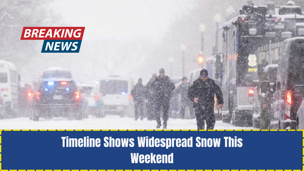
A major winter storm is on track to impact the Chicago area this weekend, setting the stage for significant snowfall, difficult travel, and the need for plenty of shoveling.
With multiple forecast models predicting heavy accumulation, residents should prepare for a high-impact weather event lasting from late Friday through Sunday morning.
Winter Storm Watch Issued For Chicago And Northwest Indiana

A winter storm watch will be in effect beginning 3 a.m. Saturday and continuing through Sunday morning, covering the entire Chicago region and northwest Indiana.
NBC 5 Storm Team Chief Meteorologist Brant Miller shared four forecast models that show snowfall estimates ranging from 6.2 inches to 12.6 inches, signaling a potentially intense winter system.
Despite the variation in totals, meteorologists agree that persistent snowfall from Friday night into Sunday morning will require widespread snow removal.
What To Expect: Day-By-Day Breakdown
Thursday Night Into Friday Morning

Before snow arrives, northwest winds will strengthen and temperatures will fall into the mid-20s. Lake-effect snow will continue over western Michigan but won’t directly impact Chicago yet.
Friday
Friday will be relatively quiet. Temperatures will remain slightly above 30 degrees, and brief periods of sunshine may appear.
Meanwhile, the developing winter system will begin to organize near the Rocky Mountains.
Late Friday Night Into Early Saturday

Snow is not expected to arrive until late Friday night or early Saturday morning. Once it moves in, the National Weather Service (NWS) warns that snowfall will intensify quickly, leading to rapid accumulation.
Saturday: Heaviest Snowfall Expected
By 8 a.m. Saturday, more than an inch of snow may already be on the ground.
According to the NWS, widespread and at times heavy snowfall is expected throughout the day, with rates reaching one inch per hour.
Forecast snow totals by afternoon include:
- Naperville: 7.7 inches
- Chicago: 6.2 inches
- Valparaiso, Indiana: 7 inches
Road travel is likely to be hazardous, with snow-covered roads, poor visibility, and slow travel times.
Saturday Night Into Sunday Morning
Some locations may approach 10 inches of snow by late Saturday night, according to Miller.
Fortunately, the system is expected to weaken overnight, allowing snowfall to gradually taper off.
Sunday
Although the main storm will exit, light snow showers are still possible Sunday morning, especially from lake-effect bands impacting areas across Lake Michigan.
Monday
Snow may be gone, but the cold will settle in.
Temperatures Monday morning are expected to drop into the single digits.
At O’Hare International Airport, readings around 9 degrees and a feels-like temperature near 0 degrees are forecasted.
Chicago is bracing for a significant winter storm that will bring widespread snow, slick roads, and frigid temperatures.
From Saturday’s intense snowfall to Monday’s dangerous cold, residents should remain alert, plan travel carefully, and prepare for extended periods of snow and hazardous travel.
While conditions improve by Sunday, the Arctic chill arriving Monday underscores the importance of staying informed and ready for rapidly changing weather.