
As a significant winter storm approaches, it’s crucial to stay informed about the latest weather developments to ensure safety and preparedness. Here’s a comprehensive overview of the current situation and what to expect in the coming days.
Current Conditions
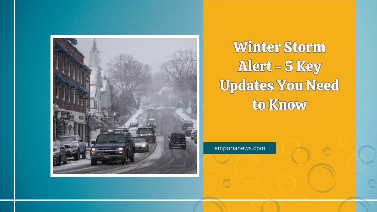
This evening, residents are experiencing freezing drizzle accompanied by light snow. These conditions are leading to slick and hazardous roads, especially those that are untreated.

As temperatures drop to a low of 19°F, with wind chills between 5-10°F, it’s essential to exercise caution while traveling. Northeast winds are blowing at 15-25 mph, adding to the chilly atmosphere.
Snowfall Expectations
Heavy snow is anticipated to begin before sunrise on Wednesday, continuing into the late afternoon or evening. Forecasts predict a widespread accumulation of 3 to 6 inches.
This significant snowfall is expected to cover roads, making travel challenging. Residents should prepare for potential school cancellations extending into Thursday due to the hazardous conditions.
Temperature and Wind Chill

Following the storm, temperatures are projected to plummet, resulting in single-digit wind chills near or below zero on Thursday and Friday mornings.
Such frigid conditions can pose risks of frostbite and hypothermia. It’s advisable to limit time spent outdoors and dress warmly if venturing outside.
Safety Precautions
Given the impending weather, residents should take the following precautions:
- Travel: Avoid unnecessary travel during peak snowfall hours. If travel is essential, ensure your vehicle is equipped with emergency supplies.
- Home: Prepare for possible power outages by having flashlights, batteries, and non-perishable food items on hand.
- Pets: Ensure pets are brought indoors and have adequate warmth.
Upcoming Weather Events

Looking ahead, another storm system is developing and may impact the area on Saturday. This system could bring rain in the morning, transitioning to a wintry mix, and eventually snow by the afternoon as temperatures drop.
The severity will depend on how quickly temperatures fall below freezing and the timing of the precipitation changeover. Residents are advised to monitor weather updates as the weekend approaches.
| Date | Weather Event | Expected Conditions | Temperature | Wind Speed |
|---|---|---|---|---|
| Tonight | Freezing Drizzle & Snow | Light snow and freezing drizzle leading to slick roads | Low: 19°F | NE 15-25 mph |
| Wednesday | Heavy Snowfall | Snow, heavy at times, accumulating 3-6 inches; hazardous travel conditions | High: 23°F | N-NW 15-25 mph |
| Thursday | Frigid Temperatures | Mostly sunny but very cold; morning wind chills between -10°F to -5°F | High: 22°F | NW to S 5-10 mph |
| Saturday | Potential Wintry Mix | Rain transitioning to snow; accumulation depends on temperature drop timing | To Be Determined | To Be Determined |
In conclusion, the upcoming days will bring challenging winter weather conditions. Staying informed through reliable weather updates and adhering to safety recommendations will be crucial. Prepare adequately, stay indoors when possible, and prioritize safety for yourself and your loved ones.
FAQs
What time will the heavy snow start on Wednesday?
Heavy snow is expected to begin before sunrise on Wednesday, becoming more widespread between 3-6 a.m.
How much snow accumulation is anticipated?
A widespread accumulation of 3 to 6 inches is forecasted for most areas.
Are there any warnings in effect?
Yes, a winter storm warning is in effect until 9 p.m. Wednesday.