
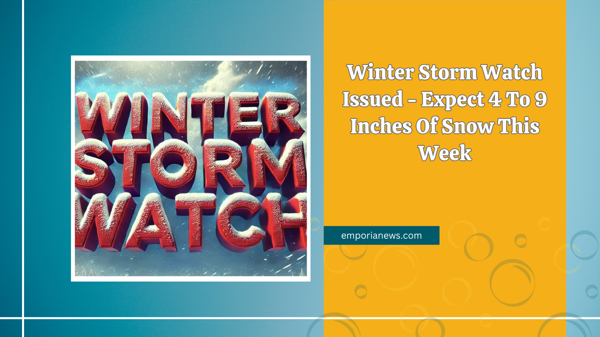
A Winter Storm Watch has been declared for numerous counties across southern Illinois, southeast Missouri, and western Kentucky, effective from late Monday night through Wednesday morning.
Meteorologists predict substantial snowfall, with expected accumulations ranging between 4 to 9 inches.
Projected Snowfall and Affected Regions

The impending snowstorm is set to impact the following areas:
- Illinois Counties: Jefferson, Wayne, Edwards, Wabash, Perry, Franklin, Hamilton, White, Jackson, Williamson, Saline, Gallatin, Union, Johnson, Pope, Hardin, Alexander, Pulaski, Massac.
- Kentucky Counties: Fulton, Hickman, Carlisle, Ballard, McCracken, Graves, Livingston, Marshall, Calloway, Crittenden, Lyon, Trigg, Caldwell.
- Missouri Counties: Perry, Bollinger, Cape Girardeau, Wayne, Carter, Ripley, Butler, Stoddard, Scott, Mississippi, New Madrid.
Residents in these regions should prepare for heavy snowfall, with accumulations potentially reaching up to 9 inches. The storm is expected to commence late Monday night and persist into Wednesday morning.
Travel Implications and Safety Measures
The anticipated snowfall is likely to render roads, bridges, and overpasses extremely slick and hazardous. Travel conditions may become challenging, and residents are advised to avoid unnecessary travel during this period. If travel is essential, exercising extreme caution is imperative.
Temperature Outlook Post-Storm

Following the snowfall, a significant drop in temperatures is expected, with frigid conditions prevailing throughout the week.
Residents should take necessary precautions to stay warm and ensure the safety of vulnerable individuals, including the elderly and young children.
Detailed Weather Forecast
Below is a detailed forecast for select regions over the coming days:
| Date | Region | Forecast Summary | High (°F/°C) | Low (°F/°C) |
|---|---|---|---|---|
| Feb 17 | Ripley, MO | Cold, thick clouds | 20°F (-7°C) | 0°F (-18°C) |
| Feb 18 | Ripley, MO | Colder, 2-4 inches of snow | 5°F (-15°C) | -4°F (-20°C) |
| Feb 19 | Ripley, MO | Mostly cloudy, extreme cold | 6°F (-14°C) | -13°F (-25°C) |
| Feb 17 | Butler, MO | Cold, partly cloudy | 30°F (-1°C) | 6°F (-14°C) |
| Feb 18 | Butler, MO | Snow (5-8 inches), breezy, much colder | 8°F (-14°C) | -3°F (-20°C) |
| Feb 19 | Butler, MO | Partly sunny, extreme cold | 9°F (-13°C) | -12°F (-25°C) |
| Feb 17 | Stoddard, MO | Cold, sunny | 34°F (1°C) | 23°F (-5°C) |
| Feb 18 | Stoddard, MO | Cloudy, breezy, snow (2-4 inches) | 26°F (-3°C) | 12°F (-11°C) |
| Feb 19 | Stoddard, MO | Morning snow, windy, storm total 2-5 inches | 21°F (-6°C) | -2°F (-19°C) |
| Feb 17 | Scott, MO | Cold, sunny | 40°F (4°C) | 23°F (-5°C) |
| Feb 18 | Scott, MO | Snow (2-5 inches), colder, hazardous travel | 24°F (-4°C) | 3°F (-16°C) |
| Feb 19 | Scott, MO | Cold, partly cloudy, dangerous morning travel | 14°F (-10°C) | -6°F (-21°C) |
| Feb 17 | New Madrid, MO | Cold, sunny | 35°F (2°C) | 24°F (-4°C) |
| Feb 18 | New Madrid, MO | Cloudy, breezy, light snow in afternoon | 30°F (-1°C) | 13°F (-11°C) |
| Feb 19 | New Madrid, MO | Light snow ending, windy, storm total 1-2 inches | 20°F (-7°C) | 1°F (-17°C) |
Preparation and Safety Recommendations

Residents are urged to take the following precautions:
- Stay Informed: Regularly monitor local news and weather updates for the latest information on the storm’s progression.
- Emergency Supplies: Ensure an adequate supply of essentials, including food, water, medications, and warm clothing.
- Travel Plans: Reconsider any non-essential travel. If travel is unavoidable, inform someone of your route and expected arrival time.
- Vehicle Readiness: Equip vehicles with emergency kits, including blankets, flashlights, and extra batteries.
- Pet Safety: Provide adequate shelter and warmth for pets during the severe weather.
FAQs
What is the expected duration of the snowfall?
The snowfall is anticipated to begin late Monday night and continue through Wednesday morning. The heaviest snowfall is expected between Tuesday and early Wednesday morning, with lingering flurries possible throughout the day.
How much snow accumulation is predicted for different regions?
Snowfall is expected to range between 4 to 9 inches across affected areas, with localized heavier amounts in certain regions.
Will this storm impact travel conditions?
Yes, roads, bridges, and overpasses will likely become slick and hazardous, making travel conditions difficult. It is strongly advised to avoid travel unless absolutely necessary.