
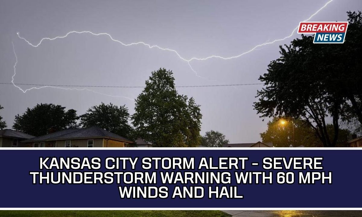
Early Monday morning, people in the Kansas City region woke up to an urgent weather alert. The National Weather Service (NWS) issued a severe thunderstorm warning, warning residents about dangerous conditions like strong winds and large hail.
These storms can damage homes, vehicles, and trees, so understanding the situation and knowing how to stay safe is very important. Here’s a simple breakdown of what happened and what you should do during such storms.
What Happened in Kansas City?

At around 5:02 a.m. on April 27, 2026, the National Weather Service released an updated warning for severe thunderstorms. This alert stayed active until 5:45 a.m. and covered multiple counties, including:
- Johnson
- Leavenworth
- Wyandotte
- Platte
The storms were moving quickly toward the east at about 40 mph, which means conditions could change very fast.
Storm Details You Should Know
These thunderstorms were not normal. They brought serious risks like hail and strong winds, which can cause damage in a short time.
Main Weather Threats
| Weather Element | Details |
|---|---|
| Hail Size | Up to 1 inch (quarter-sized) |
| Wind Speed | Up to 60 mph |
| Storm Movement | East at 40 mph |
| Damage Risk | Vehicles, roofs, trees, siding |

The NWS warned that hail could damage vehicles, while strong winds might break tree branches and even damage roofs and buildings.
Areas Affected by the Storm
Many cities and towns were under threat during this warning. Some major locations included:
- Overland Park
- Olathe
- Shawnee
- Lenexa
- Leavenworth
- Lansing
- Kansas City
Major highways were also impacted, including Interstate 70, Interstate 35, Interstate 29, and Interstate 435. Drivers in these areas needed to be extra careful.
Safety Tips During a Thunderstorm

When a severe thunderstorm warning is issued, your safety should come first. The NWS strongly advises moving to a safe indoor location immediately.
Indoor Safety Rules
- Stay in an interior room on the lowest floor
- Avoid windows and doors
- Do not use electrical devices or corded phones
- Stay away from plumbing like sinks and showers
Outdoor Safety Tips
If you are outside and cannot reach shelter:
- Avoid open fields and hilltops
- Stay away from tall trees and poles
- Spread out if you are in a group
- Do not touch metal objects or water
Lightning Risk: Why It Is Dangerous
Lightning is more common than many people think. In the United States, lightning strikes about 25 million times every year, causing around 20 deaths annually.
The danger is highest when:
- The storm is directly above you
- Thunder is clearly heard
Always wait at least 30 minutes after the last thunder before going outside again.
Driving in Heavy Rain: What You Must Do
Driving during storms can be risky, especially when roads become slippery or flooded.
Important Driving Tips
- Turn on your headlights
- Drive in the middle lanes
- Avoid puddles and water-filled roads
- Keep distance from large vehicles
- Never drive through flooded areas
What Is Hydroplaning?
Hydroplaning happens when your car slides on a thin layer of water, causing you to lose control.
Main Causes of Hydroplaning
| Cause | Explanation |
|---|---|
| High Speed | Faster speed reduces tire grip |
| Water Depth | Even a small amount can cause slipping |
| Worn Tires | Low tread reduces traction |
What To Do If It Happens
- Slowly ease off the accelerator
- Do not panic or brake hard
- Turn gently in the direction of the skid
- Wait until tires regain contact with the road
Conclusion
The Kansas City severe thunderstorm warning is a reminder that weather can turn dangerous very quickly. Strong winds, hail, and lightning can cause serious damage if you are not prepared. Staying informed, following safety instructions, and acting quickly can protect your life and property.
Whether you are at home or driving, always take weather warnings seriously. A few simple precautions can make a big difference during such storms.