
A combination of moist air from an east-southeast surface flow and colder ground temperatures led to widespread dense fog across the Sunflower State on Christmas night. Visibility dropped significantly in many areas, with some locations experiencing near-zero conditions. Here’s a detailed forecast for the days ahead.
Dense Fog Clears, But Clouds and Drizzle Persist Today
The dense fog advisories issued earlier today expired by noon as visibility started to improve. While the fog will thin out this afternoon, the skies will stay mostly cloudy with a slight chance of light rain or drizzle. The persistent cloud cover will limit temperature increases, with highs expected to reach the mid-to-upper 40s.
Fog Returns Tonight with Cooler Temperatures

Expect cloudy skies tonight as fog becomes widespread once again. Some areas may also experience drizzle or light rain. Overnight temperatures will dip into the 30s to around 40 degrees, creating chilly and damp conditions.
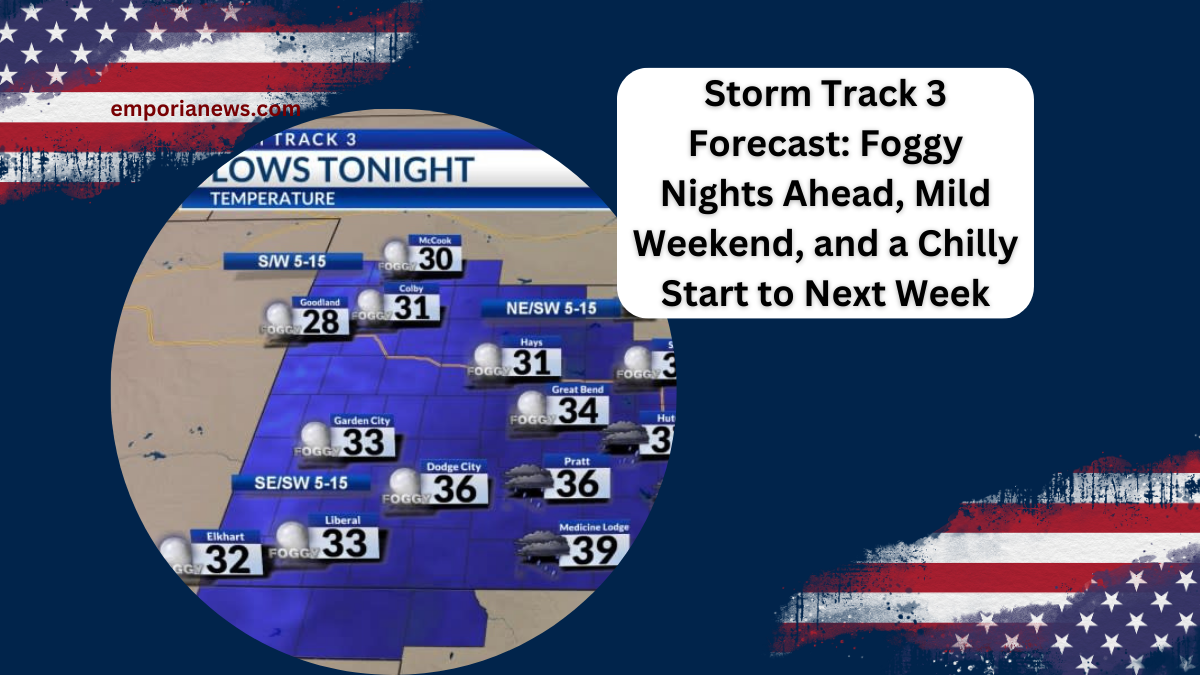
A Foggy Start to Friday with Cloudy Skies Throughout the Day
Friday’s weather will closely resemble today, with morning fog giving way to lingering cloud cover. Temperatures will climb slightly higher, reaching the low-to-mid 50s, but drizzle or a light shower remains a possibility.
A Mild Weekend Awaits
The weekend promises improved conditions, though some fog, clouds, and drizzle will reappear Friday night into Saturday morning. By Saturday afternoon, sunshine will break through, and temperatures will rise to the mid-to-upper 50s. Sunday will be the standout day of the weekend, with partly cloudy skies and highs in the upper 50s to lower 60s.
Strong Cold Front Approaches Early Next Week

A cold front is expected to sweep through Monday night into Tuesday, bringing a noticeable drop in temperatures. Overnight lows will fall below freezing, with daytime highs hovering near or slightly below average for this time of year.
There is a limited chance for rain showers Monday night into Tuesday, and areas near the Nebraska state line might see flurries. However, drier air could reduce the likelihood of snowfall, leaving only brief cloud cover in its wake.
Wichita Area Forecast Overview
| Day | High Temp | Low Temp | Conditions | Chance of Precipitation |
|---|---|---|---|---|
| Today | 48°F | 40°F | Mostly cloudy, fog thinning, slight chance of drizzle or rain | 20% |
| Tomorrow | 53°F | 38°F | Morning fog, mostly cloudy, slight drizzle or shower | 20% |
| Saturday | 57°F | 36°F | Mostly to partly cloudy, morning drizzle possible | 10% |
| Sunday | 60°F | 36°F | Partly cloudy | None |
| Monday | 59°F | 32°F | Partly cloudy, breezy, slight rain chance | 10% |
| Tuesday | 45°F | 26°F | Mostly to partly cloudy, breezy | Limited chance |
| Wednesday | 44°F | 26°F | Partly cloudy | None |
FAQs
1. Will the fog impact travel conditions this weekend?
Yes, widespread fog is expected overnight into Saturday morning, which may reduce visibility. Be cautious when driving early in the day.
2. When will the sunshine return?

Expect sunshine to break through by Saturday afternoon, with Sunday offering the clearest skies.
3. How will the cold front affect temperatures?
Temperatures will drop significantly starting Monday night, with overnight lows falling below freezing and highs in the mid-40s.
4. Are there chances of snow next week?
There is a slight chance of flurries near the Nebraska state line, but drier air may reduce this possibility.
5. What’s the outlook for New Year’s celebrations?
The forecast for New Year’s Eve remains chilly but dry, with partly cloudy skies and temperatures near seasonal averages.